Large parts of north, central and eastern India are set to experience a sharp dip in temperatures over the coming days, with cold wave and cold day conditions likely to continue in several states, according to the latest all India weather forecast bulletin issued by the India Meteorological Department (IMD). Prepare for a chill as minimum temperatures are expected to fall by 2-3°C across Northwest India during the next four days. A similar drop is likely over central and eastern India over the next two days.
Cold wave conditions are very likely in isolated areas of Punjab, Haryana, Chandigarh, East and West Rajasthan, Chhattisgarh and Jharkhand between January 6 and January 10. Parts of Haryana, Chandigarh, Delhi and Punjab may also see cold wave conditions during this period. Cold day to severe cold day conditions are expected at isolated places over East Rajasthan, while cold day conditions may prevail in parts of Bihar, Madhya Pradesh, Jharkhand and West Bengal.
VIDEO | Jaipur: Dense fog envelops the city, reducing visibility. Visuals from Jal Mahal.
(Full video available on PTI Videos – https://t.co/n147TvrpG7) pic.twitter.com/n5loIYHpKu
— Press Trust of India (@PTI_News) January 6, 2026
What is the difference between cold day and cold wave conditions?
As per the IMD, “Cold wave is a condition of air temperature which becomes fatal to human body
when exposed. It is defined based on the temperature thresholds over a region in terms of actual temperature or its departure from normal.”
When minimum temperature departure is -4.5°C or less from normal, “Cold Wave” may be
described if the actual minimum temperature is 15°C or less.
Cold day: Cold is considered when the actual minimum temperature is 10°C or less for plains and 0°C or less for Hilly regions. If the actual maximum temperature departure from normal is -4.5°C to -6.4°C, a cold day is declared. If the departure is more than -6.4°C, it is declared a severe cold day.
VIDEO | Severe cold wave and dense fog grip parts of Uttar Pradesh. Visuals from Mahoba.
(Full video available on PTI Videos – https://t.co/n147TvrpG7)#UttarPradesh pic.twitter.com/avNTdNFZmv
— Press Trust of India (@PTI_News) January 6, 2026
Fog warning
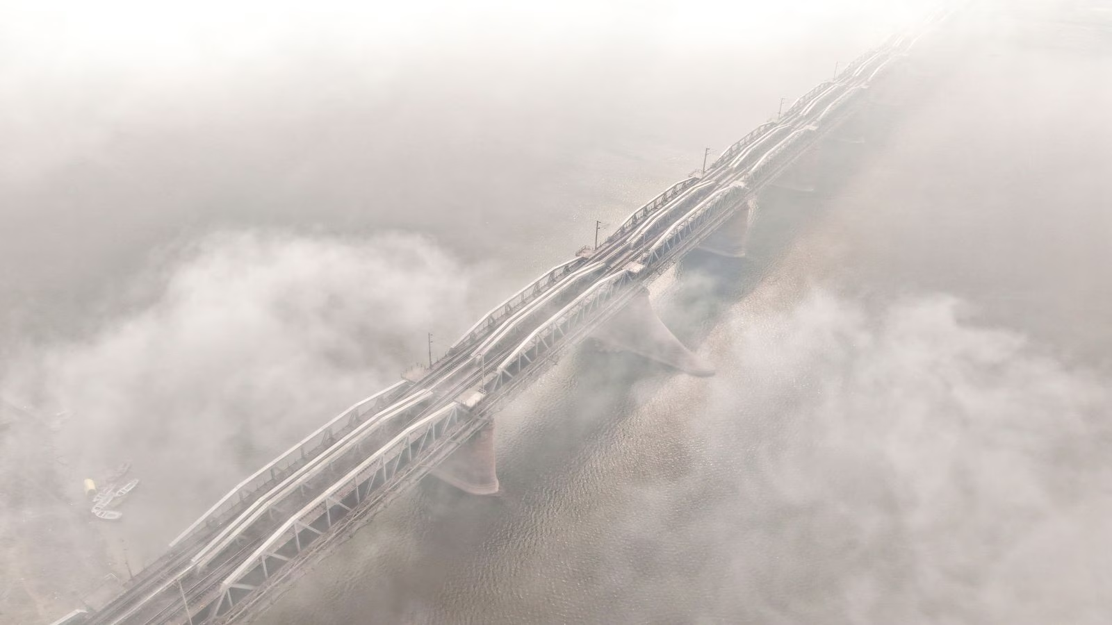
Very thick fog is expected to significantly lower visibility in the mornings, which may lead to travel delays. Dense to very dense fog is expected to continue during morning hours in many regions. Punjab, Haryana, Chandigarh and parts of Uttar Pradesh are likely to see reduced visibility till at least January 10. Fog conditions are also likely over Bihar, Rajasthan, Uttarakhand, Himachal Pradesh, Madhya Pradesh, Jharkhand, West Bengal and several northeastern states during the coming days.
Ground frost conditions are very likely at isolated places over Uttarakhand on January 5 and 6, the weather office said.
The IMD noted that minimum temperatures over the past 24 hours dropped below zero degrees Celsius at a few places in Jammu and Kashmir and Ladakh. In the plains, temperatures between 5 and 10 degrees Celsius were recorded across many parts of Uttar Pradesh, Rajasthan, Madhya Pradesh and Chhattisgarh. Etawah in Uttar Pradesh reported the lowest minimum temperature of 2.4 degrees Celsius.
VIDEO | Uttar Pradesh: State capital Lucknow remains shrouded in dense fog as the region continues reel under intense cold conditions. Visuals from Vidhan Sabha.#Lucknow #UPNews #WeatherUpdate
(Full video available on PTI Videos – https://t.co/n147TvqRQz) pic.twitter.com/KXhIPt30kj
— Press Trust of India (@PTI_News) January 6, 2026
The weather department advised that cold and foggy conditions could impact road, rail and air travel, especially during early morning hours. People have been urged to take precautions against prolonged exposure to cold, particularly the elderly and those with health conditions.