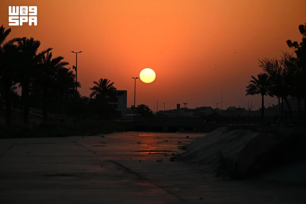

أيام وينتهي فصل الصيف أرصادياً، وفقاً لما كشفه المتحدث باسم المركز الوطني للأرصاد حسين القحطاني على حسابه الرسمي في منصة (X) اليوم (الأربعاء).
وتوقع المتحدث دخول فصل الخريف في الأول من سبتمبر في مرحلة انتقالية تتذبذب فيها عناصر الطقس، مع اعتدال نسبي في درجات الحرارة. إذ تشير الملامح المناخية، بحسب القحطاني، إلى أن سبتمبر يُعد رابع أعلى أشهر العام تاريخياً في متوسط درجات الحرارة، وهو أقل أشهر العام استقبالاً لهطول الأمطار. وكان المركز الوطني للأرصاد توقع في تقريره اليومي عن حالة طقس (الأربعاء) تكوّن السحب الرعدية الممطرة المصحوبة برياح نشطة على أجزاء من مناطق جازان، عسير والباحة، في حين تبقى درجات الحرارة العظمى مرتفعة على أجزاء من منطقتي الشرقية والرياض، كما تؤثر الرياح النشطة المثيرة للأتربة والغبار على أجزاء من تلك المناطق، وكذلك على أجزاء من مناطق نجران، الحدود الشمالية، حائل، القصيم، المدينة المنورة، ومكة المكرمة. وأشار التقرير إلى أن حركة الرياح السطحية على البحر الأحمر شمالية غربية إلى غربية بسرعة 15-40 كم/ساعة تصل إلى أكثر من 50 كم/ساعة مع تكون السحب الرعدية الممطرة على الجزء الجنوبي، وارتفاع الموج من نصف المتر إلى متر ونصف يصل إلى أعلى من مترين مع تكون السحب الرعدية الممطرة على الجزء الجنوبي، وحالة البحر خفيف إلى متوسط الموج يصل إلى مائج مع تكون السحب الرعدية الممطرة على الجزء الجنوبي.
Days until the end of the summer season meteorologically, according to what was revealed by the spokesperson for the National Center of Meteorology, Hussein Al-Qahtani, on his official account on the (X) platform today (Wednesday).
The spokesperson expected the autumn season to begin on the first of September in a transitional phase where weather elements fluctuate, with a relative moderation in temperatures. The climatic features, according to Al-Qahtani, indicate that September is historically the fourth hottest month of the year in terms of average temperatures, and it is the month with the least rainfall. The National Center of Meteorology had predicted in its daily weather report for (Wednesday) the formation of thunderstorm clouds accompanied by active winds in parts of the Jazan, Asir, and Al-Baha regions, while high temperatures remain in parts of the Eastern and Riyadh regions. Active winds that stir up dust and sand are also affecting parts of those regions, as well as parts of Najran, the Northern Borders, Hail, Qassim, Medina, and Mecca. The report indicated that the surface wind movement on the Red Sea is northwesterly to westerly at a speed of 15-40 km/h, reaching over 50 km/h with the formation of thunderstorm clouds in the southern part, and wave heights ranging from half a meter to one and a half meters, reaching over two meters with the formation of thunderstorm clouds in the southern part. The sea condition is light to moderate waves, becoming choppy with the formation of thunderstorm clouds in the southern part.