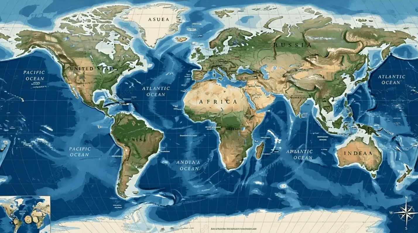

اعتمدت الجمعية العامة للأمم المتحدة، أمس (الجمعة)، قراراً قدمته توغو يدعو إلى تصحيح خريطة العالم، وإعادة التوازن إلى التمثيل الخرائطي العالمي، وتعزيز التصوير العادل للمناطق، ولا سيما القارة الأفريقية.
وحظي القرار بتأييد 164 دولة، مقابل اعتراض الولايات المتحدة الأمريكية وحدها، فيما امتنعت ست دول عن التصويت، هي إستونيا وجورجيا وليتوانيا ومولدوفا وصربيا وأوكرانيا.
تشوهات خرائطية موروثة
وأكدت الجمعية العامة في قرارها أن التشوهات الخرائطية في أحجام القارات، الموروثة تاريخياً، تترك آثاراً معرفية وتعليمية وثقافية وجيوسياسية واجتماعية واقتصادية، كما تعكس أوجهاً من التحيز التاريخي، معتبرة أن تصحيحها من شأنه تعزيز الاعتراف والعدالة والتنمية، خصوصاً فيما يتعلق بأفريقيا.
وأشار القرار إلى أن «إسقاط مركاتوري»، المستخدم على نطاق واسع حول العالم، يؤدي إلى تشويه تمثيل مساحات الكتل القارية الواقعة بعيداً عن خط الاستواء، ما ينتج عنه تقليص نسبي لحجم أفريقيا ومناطق أخرى مقارنة بمساحاتها الفعلية.
«المساواة في الأرض» بديلاً أكثر دقة
وأعلنت الجمعية العامة أن إسقاط «المساواة في الأرض» يوفر تمثيلاً أكثر دقة لأحجام الكتل البرية القارية، ويشكل خياراً مناسباً لتحسين دقة التمثيل الخرائطي للعالم.
وشددت على أهمية تعزيز استخدام تمثيلات خرائطية للكرة الأرضية تتسم بدرجة أكبر من الدقة والسلامة العلمية.
تشجيع الدول على اعتماد الخرائط المتساوية المساحات
وشجع القرار الدول الأعضاء والمنظمات الدولية والجهات الأخرى ذات الصلة على اعتماد ونشر واستخدام إسقاط «المساواة في الأرض»، إلى جانب طرائق الإسقاط الخرائطي المتساوي المساحات التي تعكس بصورة أدق المساحات الفعلية للقارات، خصوصاً في الاستخدامات التي تكون فيها الأحجام ذات أهمية.
جدل تاريخي حول «مركاتوري»
ويعد إسقاط مركاتوري من أكثر أنظمة الخرائط شيوعاً، إذ أظهر القارة الأفريقية على مدى قرون أصغر بكثير من مساحتها الحقيقية مقارنة بمناطق أخرى، خصوصاً في أمريكا الشمالية وشمال أوروبا.
وفي عام 1569، ابتكر رسام الخرائط الفلمنكي جيراردوس مركاتور، من المنطقة التي تقع ضمن بلجيكا حالياً، هذه الطريقة لمعالجة مشكلة عملية مرتبطة بالملاحة البحرية، إلا أنها تجعل الكتل الأرضية تبدو أكبر حجماً كلما ابتعدت عن خط الاستواء.
وأشار قرار الجمعية العامة إلى أن هذه التشوهات ساهمت في «التصغير الرمزي» لأفريقيا، وأسهمت في ترسيخ نظرة غير متوازنة إلى العالم.
The United Nations General Assembly adopted a resolution yesterday (Friday) presented by Togo, calling for a correction of the world map, restoring balance to global cartographic representation, and promoting a fair depiction of regions, particularly the African continent.
The resolution received support from 164 countries, with only the United States of America opposing it, while six countries abstained from voting: Estonia, Georgia, Lithuania, Moldova, Serbia, and Ukraine.
Inherited Cartographic Distortions
The General Assembly affirmed in its resolution that the historically inherited cartographic distortions in the sizes of continents leave cognitive, educational, cultural, geopolitical, social, and economic impacts, as well as reflecting aspects of historical bias, considering that correcting them would enhance recognition, justice, and development, especially concerning Africa.
The resolution pointed out that the “Mercator projection,” widely used around the world, leads to a distortion in the representation of the areas of continental land masses located far from the equator, resulting in a relative reduction in the size of Africa and other regions compared to their actual areas.
“Equal Area” Projection as a More Accurate Alternative
The General Assembly announced that the “Equal Area” projection provides a more accurate representation of the sizes of continental land masses and constitutes a suitable option for improving the accuracy of the world’s cartographic representation.
It emphasized the importance of promoting the use of cartographic representations of the Earth that exhibit a greater degree of accuracy and scientific integrity.
Encouraging Countries to Adopt Equal Area Maps
The resolution encouraged member states, international organizations, and other relevant entities to adopt, disseminate, and use the “Equal Area” projection, alongside equal area cartographic projection methods that more accurately reflect the actual areas of continents, especially in applications where sizes are significant.
Historical Debate over “Mercator”
The Mercator projection is one of the most common mapping systems, having depicted the African continent as significantly smaller than its actual size compared to other regions, particularly in North America and Northern Europe, for centuries.
In 1569, Flemish cartographer Gerardus Mercator, from the area that is now Belgium, devised this method to address a navigational problem; however, it makes land masses appear larger the further they are from the equator.
The General Assembly’s resolution noted that these distortions contributed to the “symbolic diminishment” of Africa and reinforced an unbalanced view of the world.